Contaminated Water When a Disaster Strikes the Coast
 Planet
 People
 Prosperity
 06 Clean Water and Sanitation
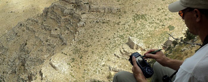
When flood disasters strike the coast, traditional water sources such as surface water or shallow drinking water wells may become contaminated or otherwise unavailable.
In such situations, it is imperative for emergency response crews to immediately know where they still have reliable sources of clean drinking water. Fresh groundwater sources can often be a local solution, providing reliable access to relatively clean water, yet often get overlooked. This absence of local fresh water automatically can lead to bottled water or water cisterns unnecessarily being carried over great distances. With this in mind, it is important for decisionmakers to know where their fresh water resources are located, so that they can be safeguarded for use during future shortages.